James Thomas Wiggins, a 21-year-old dishwasher at Anthony’s Italian restaurant in downtown Ruston, Louisiana, vanished in the early morning hours of December 21, 2002. After leaving his home on Vaughn Avenue on foot to walk to a nearby grocery store for cigarettes, he never returned.
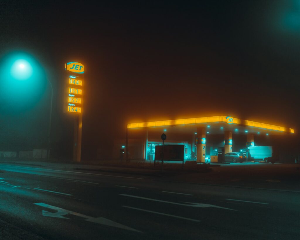
The James Wiggins missing case took a strange turn the following morning when he was positively identified at Goose Creek Grocery on White Lightning Road—miles outside of town in a rural area.
Despite extensive ground searches, shifting timelines, and scattered leads over the years (including an unverified 2023 tip regarding a potential border crossing), the case remains open and unsolved as of February 2026. Today, Ruston Police continue to follow any credible information, while modern forensic tech offers hypothetical new ways to look at old terrain.
Key Takeaways
- The Departure: James left home on foot in the pre-dawn winter hours, telling his mother his destination; he never returned, prompting his sister to officially report him missing days later.
- The Anomaly Sighting: A crucial verified sighting came the next morning from the Goose Creek Grocery owner, who checked James’s ID—placing him several miles from his home in an isolated, rural sector.
- Geographic Hurdles: The search area for the James Wiggins missing investigation features dense pine forests, creeks, and low-lying depressions that complicated initial ground searches during the colder winter conditions of 2002.
- 2026 Tech Applications: While there are no major breakthroughs this year, modern non-invasive tools like drone thermal imaging, LiDAR terrain mapping, and GIS data overlays offer hypothetical avenues to revisit overlooked search grids.
The Timeline: A Geographic Puzzle
A few days before Christmas 2002, James told his family he was heading out for cigarettes. It was assumed he meant a local, walkable spot. When he failed to return, his sister filed the official James Wiggins missing persons report.
The timeline’s most baffling element occurred the very next morning. The owner of Goose Creek Grocery arrived to open his shop and found a young man asleep on the doorstep. When the store opened, the man entered, purchased cigarettes, and showed his ID. The owner positively identified him as James Wiggins. That interaction remains the last verified contact in the James Wiggins missing timeline.
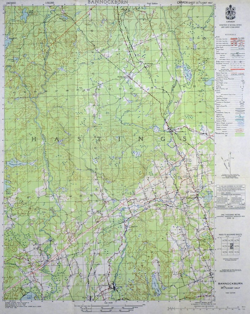
Initial search grids focused heavily on the rural expanse between Vaughn Avenue and Highway 146, combing through woods and fields, but yielded nothing. Over the decades, leads have ranged from potential sightings to darker theories, none of which have panned out. As of 2026, his profiles on NamUs (MP735) and the Charley Project remain actively monitored.
Ruston’s Terrain: Why It Complicates the Search
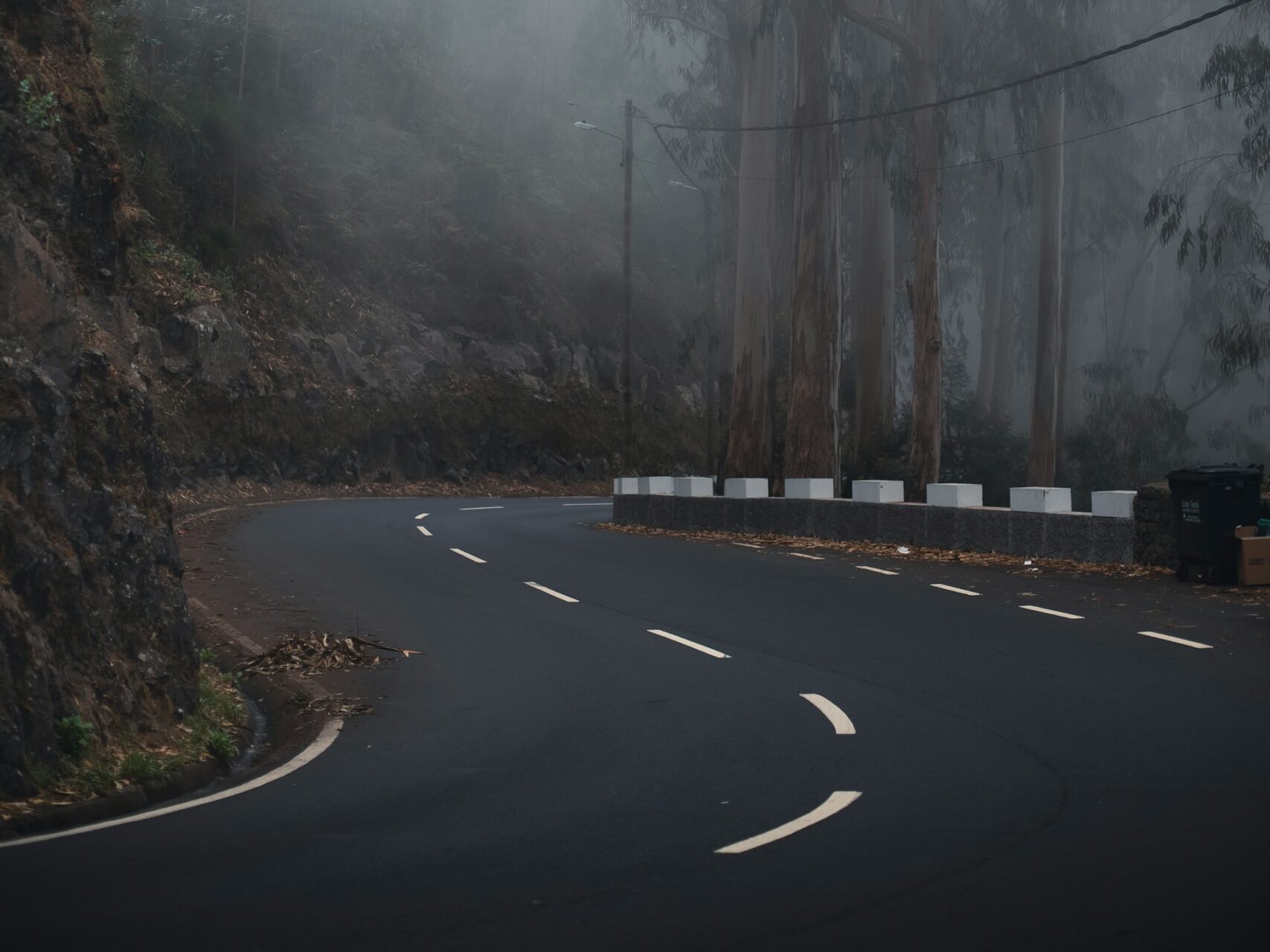
Ruston sits in northern Louisiana’s rolling hills—a landscape defined by dense pine forests, creeks feeding into Bayou Dorcheat, and scattered farmland. Highway 146 runs through quieter outskirts with extremely limited lighting or foot traffic at night. In late December, colder weather, dropping temperatures, and potential fog can easily disorient someone traveling on foot.
While the physical distance from his home to Goose Creek is only a matter of miles, the rural isolation means fewer witnesses and massive difficulties for initial ground search teams trying to cover dense brush.
Our Take in The Lab
Respecting the heavy sensitivity of missing persons cases, the Everything Unexplained Lab avoids speculation on foul play. Instead, we look at the geographic and technological puzzle. Rural Louisiana’s vast, uneven landscape has the capacity to hide traces for decades.
When cross-referencing 2002 search reports with 2026 mapping tools, it becomes clear how elevation changes and vegetation density limited early searchers. Similar to how we utilize advanced spatial mapping in the Doggerland Discovery 2026 file, modern terrestrial LiDAR can penetrate dense forest canopies to reveal hidden depressions or old footpaths without disturbing the ground. If independent tech-search groups ever apply drone-based GIS mapping to the Highway 146 corridor, it could highlight zones that were physically inaccessible in 2002—always, of course, under the guidance of law enforcement and the family.
FAQ
What happened to James Wiggins after the grocery store sighting? There are no confirmed sightings of James after his interaction with the Goose Creek owner. He left the rural convenience store and the trail ends there.
Has there been any update on the James Wiggins missing case in 2026? As of early 2026, no major public developments have been reported. Ruston PD keeps the file active and continues to monitor for credible tips.
Could modern drones or mapping help this cold case? Yes. Thermal drones, LiDAR, and GIS mapping could scan the rural Louisiana terrain non-invasively, identifying anomalies like disturbed ground or hidden paths that ground teams couldn’t see in 2002.
How can people help with cases like this? Anyone with information should contact the Ruston Police Department at (318) 251-8621, check NamUs (MP735) for updates, or support organizations aiding the families of the missing.
This case stays heavy—families deserve closure and respect. If you have thoughts, a similar experience, or information, share respectfully in the comments or submit via our anonymous form. Subscribe for more forensic looks at unsolved files.